 vesseltracker.com
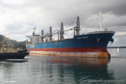
Vessel NORD WIND IMO: 9573921, MMSI: 314537000 Bulk Carrier
UTC, 29.90194, 32.49154, course: 125, speed: 0.4
UTC, 29.64833, 32.55333, course: -1, speed: 12
2026-02-11 13:19:03 UTC, 29.72289, 32.62165, course: 134, speed: 0.1
Live AIS position:
UTC. Near Ras Sudr),
updated 2026-02-11 13:19:03 UTC.
Find the position of the vessel NORD WIND on the map. The latter are known coordinates and path.
marine traffic ship tracker show on live map
The current position of vessel NORD WIND is 29.72289 lat / 32.62165 lng. Updated: 2026-02-11 13:19:03 UTCCurrently sailing under the flag of Barbados
NORD WIND built in 2011 year
Deadweight:
28225 tDetails:
Last coordinates of the vessel:
UTC, 29.88746, 32.47412, course: 335, speed: 0UTC, 29.90194, 32.49154, course: 125, speed: 0.4
UTC, 29.64833, 32.55333, course: -1, speed: 12
2026-02-11 13:19:03 UTC, 29.72289, 32.62165, course: 134, speed: 0.1